Lot No. LOT-3959 · offered September 29, 2026
Precision Agriculture & AgTechLot sheet
Drone-Satellite-AI Farming Cuts Irrigation Costs Up to 25%
A Frontiers review of 101 studies finds drone-satellite-machine learning systems cut irrigation costs 20–25% and nitrogen use up to 31 kg/ha, but adoption stalls at 12% in North China Plain.
Market notes
- Integrated UAV-satellite-machine learning systems cut irrigation costs 20–25% and nitrogen application by up to 31 kg/ha without yield loss, per a Frontiers review of 101 studies published January 7, 2026.
- AI disease detection exceeded 95% accuracy for Botrytis in tomatoes, powdery mildew in wheat and downy mildew in grapes, predicting outbreaks 2–3 weeks pre-symptom with 81–95% accuracy.
- Barriers to adoption include UAV costs of $500–$2,000/km², 50–200 GPU-hours of model training, 12–18% accuracy loss across agroecological zones, and just 12.0% sustained adoption in the North China Plain.
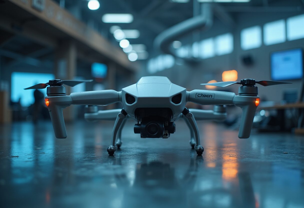
Farms that combine drone imagery, satellite data and machine learning cut irrigation costs by 20–25% and reduced nitrogen application by up to 31 kg per hectare without sacrificing yield, according to a systematic review of 101 peer-reviewed studies published January 7 in Frontiers in Agronomy.
The review, led by Xing Yuan, Liu Xin and corresponding author Wang Xiukang of Yan'an University, analyzed studies published between 2018 and 2025 drawn from an initial pool of 2,347 records in Web of Science, Scopus, IEEE Xplore, PubMed/MEDLINE and CAB Abstracts. Most documented gains came from temperate irrigated systems — the North China Plain and the U.S. Corn Belt — under controlled water and nitrogen trials using multispectral UAV data fused with Sentinel-2 imagery.
The headline numbers translate directly into variable-cost relief for growers facing elevated fertilizer and pumping expenses. A UAV-based nitrogen management system in corn delivered efficiency gains of 18.3 ± 6.1 kg grain per kg of nitrogen while trimming applications by 31 ± 6.3 kg N per hectare. One IoT-linked smart-farming implementation reported irrigation cost reductions of 25.34% and crop yield simulation accuracy up to 92%. Broader automation deployments — all-terrain vehicles guided by AI vision — posted 15–20% yield improvements, 25–30% cost reductions and 20–25% efficiency gains.
Disease detection is where the models perform best. AI systems identified Botrytis cinerea in tomatoes, powdery mildew in wheat and downy mildew in grapes with accuracy exceeding 95%, and predicted outbreaks at 81–95% accuracy two to three weeks before symptoms emerged. Those lead times, the review notes, could cut yield losses by roughly 16% while reducing pesticide use. On the yield side, fusing UAV and satellite data improved wheat yield prediction to R² = 0.83 with 86% mapping accuracy, against 0.5–0.65 for conventional Landsat-NDVI approaches. A UAV-satellite nitrogen study reached R² of 0.75 for plant nitrogen accumulation.
The economics of data acquisition remain a sticking point. UAV operations run $500–$2,000 per square kilometer for sub-decimeter imagery, versus $50–$150 for traditional ground scouting. The review argues the higher cost buys frequency and resolution that enable more precise input applications and long-term savings in water, fertilizer and chemicals. Training deep learning models demands 50–200 GPU hours per model and 16–32 GB of GPU memory, with seasonal data storage needs of 10–100 terabytes for large commercial operations.
Generalization is a second constraint. CNN and RNN models lose 12–18% accuracy when transferred across agroecological zones — a yield model trained on the U.S. Corn Belt degraded comparably when applied to East African smallholder systems without adaptation. Transfer learning, multi-region training datasets, federated learning and hybrid process-based models are emerging fixes, with pre-trained satellite models fine-tuned on limited local data showing robust biomass estimation in new regions.
Adoption data in the review are sobering. Sustained precision-agriculture adoption among farmers in the North China Plain stands at just 12.0%, though 72.8% expressed willingness to adopt within five years. In Brazil, a survey of 504 farmers found 84% using at least one digital technology. The review's policy prescriptions follow from those gaps: subsidies for precision equipment, streamlined UAV flight regulations, open satellite-imagery data initiatives, standardized agricultural data ontologies such as OGC SensorThings API, and farmer data-sovereignty protections — particularly in developing regions where yield and land data risk unauthorized sale to commercial entities or misuse in credit scoring.
The authors close by framing the technology triad as a roadmap for climate adaptation, positioning yield-prediction, drought-index and flood-damage models — CNNs maintaining over 90% accuracy on wheat heat stress, LSTMs predicting soybean drought impacts at R² above 0.80 — as the basis for data-driven policy frameworks as population and climate pressures intensify.
via doi.org (Original)
More from Rebecca Stone
Show full bio
Market editor covering industry trends and analytics at Agribusiness Wire.
135 articles
Also in the yard
- Precision Agriculture: Drones, Satellites and AI Target Input Costs
- Free Satellite Imagery and Spray Drones Take Center Stage
- Purdue Study: Only Two Precision Ag Tools Pay Their Way
- Precision Agriculture Tools Emerge as Answer to Fertilizer Shortages
- 5G In Agriculture Global Market Report Lays Out Hardware, Software Segments