Lot No. LOT-9970 · offered September 27, 2026
Precision Agriculture & AgTechLot sheet
Free Satellite Imagery and Spray Drones Take Center Stage
Free satellite imagery paired with spray drones took center stage in a precision agriculture program, lowering the entry cost of variable-rate farming for producers.
Market notes
- A precision agriculture program highlighted free satellite imagery and spray drones as accessible entry points for growers.
- Free imagery lets producers scout field variability and target problems before harvest, at zero subscription cost.
- Spray drones enable spot applications that can cut chemical volume and support per-acre input savings.
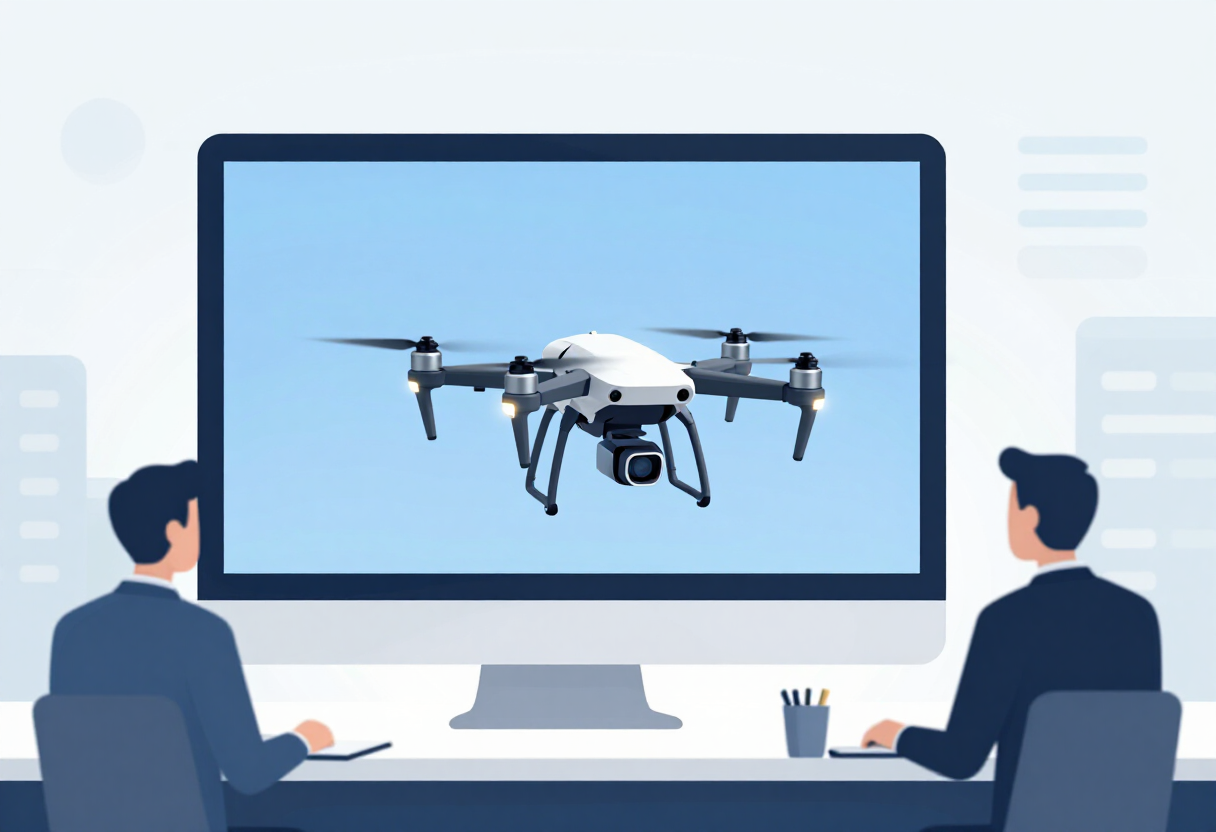
Free satellite imagery and spray drones headlined a recent precision agriculture presentation covered by the Duncan Banner, signaling how quickly the entry cost of variable-rate farming has fallen for row-crop and forage producers in southern Oklahoma and similar production regions.
The core message for growers is straightforward: the data layer that once required paid subscriptions or custom flights is now available at no charge. Free satellite imagery lets producers scout field variability, track crop development through the season, and flag trouble spots — nutrient deficits, drainage problems, pest or disease pressure — before those problems show up in yield maps at harvest. For operations weighing whether precision agriculture pays, a zero-dollar imagery entry point removes one of the most common objections.
The second half of the program focused on spray drones, a technology that has moved from novelty to a practical option for targeted applications. Drones suit spot treatments, small or irregular fields, terrace and waterway edges, and areas where ground rigs cause compaction or crop damage. That targeting matters for input budgets: spraying only where the problem exists cuts chemical volume, and reduced chemical spend flows directly to per-acre margins.
The pairing of the two technologies is what makes the combination work agronomically and economically. Satellite imagery identifies where a problem sits in the field. The drone treats that patch rather than the whole acreage. Producers get a scout-verify-treat loop that links a free diagnostic tool to a precise application platform, without investing in a full variable-rate controller or prescription-writing service first.
For growers in the Duncan Banner's coverage area of Stephens County and surrounding south-central Oklahoma, the program's timing is relevant on two fronts. Input costs remain a top line item in crop budgets, and any tool that trims herbicide, fungicide, or foliar-feed use without sacrificing coverage deserves a hard look. At the same time, drone spraying carries regulatory and operational requirements — operator certification, flight rules, and label compliance for aerial application — and growers considering the route need to factor training and documentation into the true cost comparison against ground rigs and custom aerial applicators.
The presentation also reflects a broader shift in how extension-style outreach markets precision agriculture. A decade ago the pitch centered on yield monitors and paid mapping services. Today the emphasis falls on accessible tools: public satellite data streams, consumer-grade drones, and software that stitches the two together. That shift lowers the barrier for mid-sized and smaller operations that previously sat out precision adoption because the payback math did not clear.
Growers evaluating the approach should keep the usual discipline in mind. Condition imagery and normalized difference vegetation index readings describe plant vigor at a moment in time; they do not diagnose the cause. Verifying with boots-on-the-ground scouting before spending product remains the standard practice. And results from targeted drone applications should be checked against untreated checks or whole-field spray programs before an operation rewrites its application strategy.
Producers interested in the specifics — imagery platforms, drone models, certification steps, and local demonstration results — can follow the Duncan Banner's coverage for details on the program and future sessions in the region.
via Google News: Precision agriculture (Source)
More from Nathan Brooks
Show full bio
Staff writer covering marketplaces and e-commerce at Agribusiness Wire.
173 articles
Also in the yard
- Precision Agriculture: Drones, Satellites and AI Target Input Costs
- Spray Drones Gaining Ground in Crop Protection
- Robots, Drones, and Digital Tools: The Next Generation of Crop Protection
- Drone-Satellite-AI Farming Cuts Irrigation Costs Up to 25%
- OSU Ph.D. Student Wins Global Fellowship to Push Precision Agriculture