Lot No. LOT-7859 · offered October 13, 2026
Precision Agriculture & AgTechLot sheet
SatRAP project puts 45 High Plains farms under satellite irrigation watch
USDA's five-year SatRAP project, launched in 2025, outfits 45 High Plains farms with sensors to validate OpenET satellite evapotranspiration data against ground-truth water use in Kansas, Oklahoma and Texas.
Market notes
- SatRAP launched in 2025 as a five-year USDA-funded project covering 45 farms — 15 each in Kansas, Oklahoma and Texas.
- Project partners include K-State, KU, Oklahoma State, Texas Tech, Texas A&M, West Texas A&M, OpenET and NASA-affiliated researchers.
- OpenET satellite evapotranspiration data currently arrives with a three- to four-day lag and is not yet cleared for daily irrigation decisions.
- Crops under study include corn, sorghum, soybeans and cotton; fields are equipped with soil moisture sensors, water meters, weather stations and eddy covariance towers.
- Researchers say it's too early to claim SatRAP participants are pumping less or more water than before the project began.
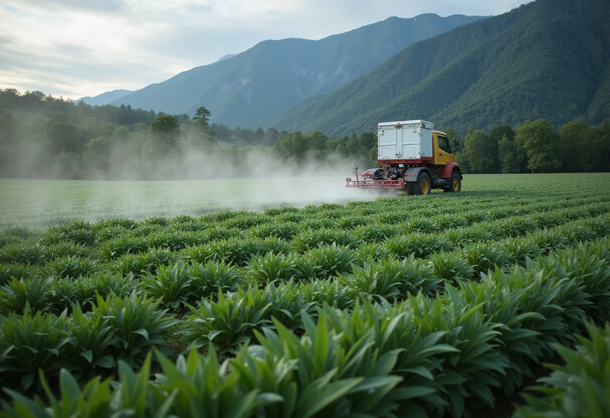
A USDA-backed, five-year research effort launched in 2025 is outfitting 45 irrigated farms across Kansas, Oklahoma and Texas with soil moisture sensors, water meters, localized weather stations and eddy covariance towers to test whether satellite-derived water-use data can guide center-pivot decisions.
SatRAP — the Satellite Enabled Resilient Ag Project — pulls in researchers from Kansas State University, the University of Kansas, Oklahoma State University, Texas Tech, Texas A&M and West Texas A&M, plus OpenET and NASA-affiliated scientists. Fifteen operations in each of the three states participate, and one demonstration farm sits in each state.
What is SatRAP trying to answer?
Program director Susan Metzger, who also directs strategic interdisciplinary program development at K-State and leads the Kansas Water Institute, framed the project's central question plainly: how do producers stay productive as the Ogallala High Plains aquifer keeps dropping?
"Every inch of water that we apply is critically important, and where and when you apply it needs to mean something," Metzger said. "It needs to result in good production, and precision agriculture is the way that we can get there."
Crops in the study: corn, sorghum, soybeans and cotton. Researchers picked most sites in areas already dealing with shrinking water or tighter pumping rules. They instrument fields without disrupting the grower's normal operation.
How does the satellite piece work?
OpenET — a public, no-cost online platform — estimates evapotranspiration from satellite imagery. But the lag is real, said K-State Extension irrigation specialist Jonathan Aguilar.
"It is not yet in the stage where it can be used for daily decision making of irrigation," Aguilar said. Current OpenET readings typically arrive three to four days late.
The team wants to shrink that window. "We are hoping that we will get to the point that it's almost like a regular weather forecast, wherein you have the data from the past 24 hours, and some projection of the data in the next three to four days ahead of time," Aguilar said.
Aguilar flagged two technical headaches:
- Cloud cover blocks satellite passes.
- Satellites infer water loss from temperature and related variables — they don't measure water leaving the field directly.
That's why land-based sensors sit alongside the satellite feed. "We have to make sure the equation or procedure really captures the data, and that's where the land-based sensors are going to work well," Aguilar said. Researchers are also pulling water-meter readings to compare applied volumes against the satellite estimates.
What does the data actually change for a grower?
For now: not much. Soil moisture sensors flag when a field is dry enough to water, Aguilar said, but they're thin on telling a producer how much to apply.
"Many of the soil moisture sensors are able to help make a decision on when to irrigate, but probably not how much to irrigate," he said.
Some SatRAP growers say they're more deliberate about timing. Pumping totals? Too early to call. "We don't have enough information to make any substantial claim that they are pumping less or more," Aguilar said.
Metzger pushed back on any notion that SatRAP tries to outthink the farmer. "If you were to take all this technology away, the smartest person in the room is the person that's been managing that land in their family for as long as they have been," she said. "We're hoping to learn with them to improve that."
What are the bigger stakes?
OpenET is free. The field sensors are commercially available. The bottleneck, Metzger said, is translating raw readings into real-time decisions.
"We're data rich and information poor," she said, "and so I think this is only reinforcing that it's not necessarily about more data; it's about taking good data and translating that into good decisions in real time."
As Ogallala depletion tightens well capacities across the three states, SatRAP researchers will keep stacking satellite estimates against ground truth through 2030 to see which tools actually pencil out for irrigation management.
via High Plains Journal (Source)
More from Nathan Brooks
Show full bio
Staff writer covering regulation, policy and their impact on Agribusiness coverage for industry professionals at Agribusiness Wire.
466 articles
Also in the yard
- K-State Garden City Researchers Recalibrate Cotton Water Use for High Plains
- Nebraska system backs USDA-ARS precision agriculture center investment
- UGA Spotlights Researchers Driving Precision Agriculture Work
- UTIA Names Precision Ag Extension Specialist for Row Crops
- UGA's IIPA Forms Industry Advisory Board to Link Research, Growers