Lot No. LOT-8613 · offered September 29, 2026
Precision Agriculture & AgTechLot sheet
Drone Imagery and Neural Networks Target Rice Germination Counts
A Nature study applies a hierarchical convolutional neural network to drone imagery to estimate rice germination rates and seedling density, aiming to replace manual stand counts.
Market notes
- Nature published a study using a hierarchical convolutional neural network on drone imagery to assess rice germination rates and seedling density.
- The method aims to replace manual plot sampling, reducing labor costs and sampling error in early-season stand assessment.
- Field-level accuracy benchmarks and cost comparisons with manual scouting are not reported in the study's public description.
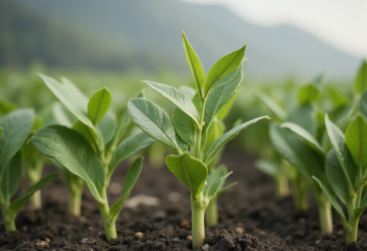
Rice growers could soon replace manual field counts with drone-based artificial intelligence, according to a study published in the journal Nature titled "Towards precision agriculture for assessing germination rates and density of rice seedling using hierarchical convolutional neural network on drone imagery."
The research addresses one of the most consequential early-season decisions in rice production. Germination rate and seedling density directly determine whether a stand will meet its yield potential or require replanting, and conventional assessment forces scouts to sample limited plots and extrapolate across whole paddies. That method carries both labor costs and sampling error, and the window for corrective action after establishment is narrow.
The paper's method centers on a hierarchical convolutional neural network, a class of deep-learning model designed to process imagery in structured layers. Applied to photographs captured by drones flying over rice fields, the network identifies individual seedlings and converts those detections into field-scale estimates of germination percentage and plant density.
The hierarchical design matters agronomically. Rather than treating an entire image as a single classification problem, the model breaks the task into stages, which the authors position as better suited to the spatial patterns of emerging rice, where seedlings cluster at irregular intervals, water reflections complicate detection, and plant size varies with emergence timing. For input buyers and seed suppliers, the technique points toward a repeatable, image-based audit of establishment quality that could support replant claims and stand-adjustment decisions with documented evidence rather than visual estimates.
The study sits within a broader movement in precision agriculture. Drone imagery has already entered routine use for crop monitoring, and convolutional neural networks have become the standard tool for interpreting that imagery across row crops, orchards, and paddies. Rice presents distinct challenges: flooded or saturated fields alter light conditions, and early seedlings are small targets against water and soil backgrounds. A published, peer-reviewed framework specific to rice germination fills a gap that general-purpose crop-monitoring models have not addressed reliably.
The economic logic is straightforward. Replanting a rice field multiplies seed, fuel, and labor costs while compressing the growing window, so early and accurate detection of a poor stand lets growers act before the replant option expires. Conversely, a confirmed adequate stand prevents unnecessary over-seeding on subsequent plantings, trimming seed expense per acre. Agronomists and extension services have long sought objective stand-assessment tools for rice; an automated aerial method would standardize what has remained a largely judgment-based field call.
Adoption barriers remain. The approach requires drone hardware, image-processing capacity, and operators trained in both flight and data workflows, and the study's framework must still be validated across diverse rice-growing regions, soil types, and establishment systems — from dry direct seeding to transplanted paddies — before commercial deployment. Reporting on the research to date does not include field-level accuracy benchmarks or cost comparisons with manual scouting, so growers should treat the work as methodological progress rather than a market-ready service.
The Nature publication signals that machine-vision tools are moving from broad crop monitoring toward specific, decision-critical measurements, and rice growers, input retailers, and agronomic advisers can expect continued refinement of aerial stand-assessment systems as validation work proceeds.
via Google News: Precision agriculture (Source)
More from Marcus Bennett
Show full bio
Senior reporter covering marketplaces and e-commerce at Agribusiness Wire.
127 articles
Also in the yard
- Precision Agriculture: Drones, Satellites and AI Target Input Costs
- Researchers Release Apple Flower Detection Dataset for Precision Ag
- CNN-LSTM Hybrid Model Targets Early Leaf Disease Detection
- Drone-Satellite-AI Farming Cuts Irrigation Costs Up to 25%
- Free Satellite Imagery and Spray Drones Take Center Stage