Lot No. LOT-8819 · offered November 19, 2026
Crop EconomicsLot sheet
Drought Retreats in Four Corners and Texas, Deepens Across Mississippi Valley
Drought improved from Southern California through the Four Corners and Texas, while Mississippi Valley states need 20-30 inches of rain to escape exceptional drought, the latest monitor shows.
Market notes
- 3-4 inches of rain fell along the Texas Gulf Coast, easing severe to extreme drought in the southeast of the state
- Parts of Arkansas, Louisiana and Mississippi need 20-30 inches of rain over three months to break exceptional drought
- Exceptional drought was introduced in northeastern Wyoming on poor long-term indicators and ground reports
- 50-100 inches of Sierra snow is forecast as a powerful storm hits the West later this week
- The Olympic Peninsula received over 15 inches of rain, cutting drought categories
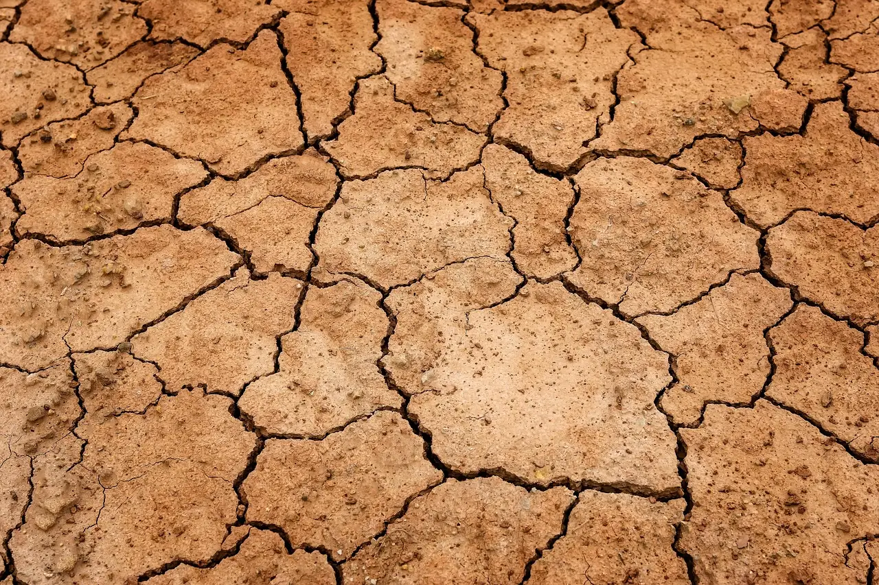
The latest U.S. Drought Monitor brings a split verdict for growers: broad improvements from Southern California through the Four Corners into Texas and Oklahoma, while exceptional drought keeps spreading across Arkansas, Louisiana and Mississippi.
The monitor, jointly produced by the National Drought Mitigation Center at the University of Nebraska-Lincoln, USDA and NOAA, shows conditions worsening from the Mississippi River Valley to the Southeast and Middle Atlantic states. Temperatures ran above average across the Northern Plains and Northern Rockies, while the Southeast stayed cooler and dry.
How much rain fell where?
Texas took the biggest win. Another round of very heavy rainfall hit central to southeastern parts of the state, with 3 to 4 inches or more along the Gulf Coast between Corpus Christi and the Houston metro. That triggered categorical improvements that eased severe to extreme drought across southeastern Texas.
Central Oklahoma picked up 1 to 2 inches, relieving drought there as well.
The West scored its own gains. A series of storm systems hammered coastal Washington, Oregon and northwestern California. The Olympic Peninsula — already a wet location — absorbed over 15 inches of rain, enough to cut drought categories. With many streams running near all-time highs for this time of year, monitors expanded improvements across southeastern California, southeastern Nevada, northern Arizona, southern and eastern Utah, and New Mexico. Targeted improvements also landed in parts of South Florida and the interior Northeast.
Southwestern reservoirs kept recharging, though at a slower rate than in previous weeks.
Where did drought get worse?
The Mid-South bears the brunt. Exceptional drought continues to spread across Arkansas, Louisiana and Mississippi, with a large expansion across central Mississippi as precipitation deficits mount going back well over a year. Many parts of all three states need 20 to 30 inches of rain within a three-month window to break the drought.
The Midwest saw abnormal dryness and drought expand across southern and central Missouri into Illinois on very little rainfall. The northern Midwest held at status quo, with seasonably cooler temperatures and little precipitation.
The High Plains logged only targeted changes: a small degradation in the northern Colorado Rockies and a couple in eastern Kansas. The sharpest hits came in northern and northeastern Wyoming, where well-above-average temperatures and scarce precipitation expanded extreme drought and introduced exceptional drought in the northeast. Very poor long-term indicators plus ground validation reports justified the new exceptional designation.
Northwestern Montana also saw moderate drought introduced, driven by temperatures 10 degrees Fahrenheit or more above average combined with well below normal precipitation. Parts of the northern Rockies saw broader drought expansion.
What does the outlook hold?
A powerful storm system will hit much of the West later this week, especially California. Expect several inches of precipitation and mountain snows of 50 to 100 inches in the Sierras over the next several days, with lesser but still substantial snow in western Colorado, northeastern Utah, and western Montana and Wyoming.
The Climate Prediction Center projects above-normal temperatures across a large part of the country over the next six to 10 days — Texas the exception, facing below-normal readings. Above-average precipitation should cover much of the West plus the southern and eastern U.S., leaving the Mid-South's exceptional drought as the region to watch.
via High Plains Journal (Source)
More from Nathan Brooks
Show full bio
Staff writer covering regulation, policy and their impact on Agribusiness coverage for industry professionals at Agribusiness Wire.
591 articles
Also in the yard
- Up to 9 Inches of Rain Cut Drought Ratings Across West Texas
- Texas-Oklahoma Storm Delivers 6-8 Inches, Trims Drought; Deep South Dries Out
- Drought Monitor Logs Broad One-Category Gains Across Southwest
- Drought Monitor: Arkansas Posts 8-16 Inch Deficits as Four Corners Soaks
- Hurricane Rachel's Remnants Bring 11 Inches of Snow, Drought Relief